Land met een Plan
National Spatial Resilience Framework
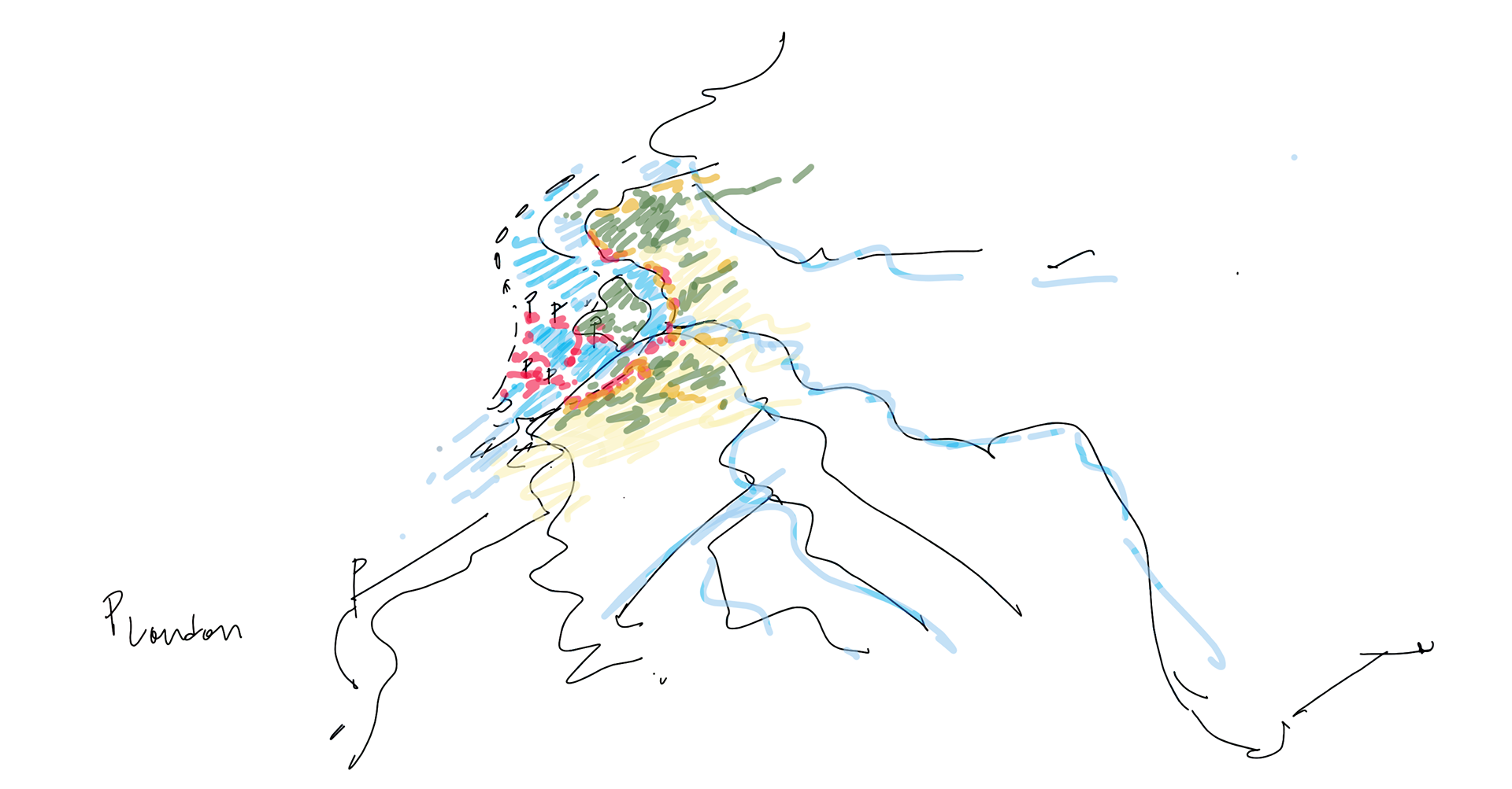
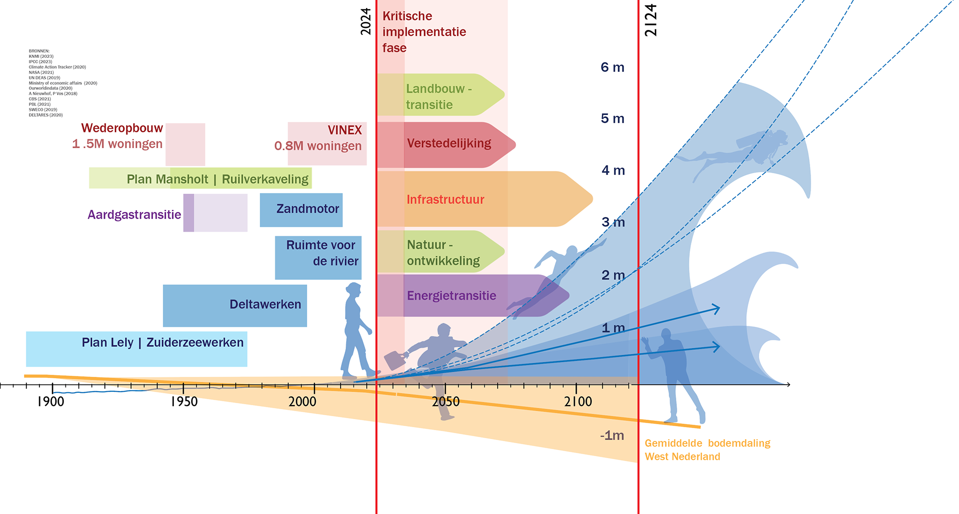
Land met een Plan extrapolates a future scenario based on research by Deltares, the Dutch institute for applied water and subsurface expertise. The project translates these projections into spatial implications at national scale, examining how specific land use decisions reshape economic systems, agricultural viability and ecological resilience over time.
Rather than treating water, agriculture and urbanisation as separate domains, the study frames them as interdependent spatial systems.
The Premise
The Netherlands faces accelerating pressures linked to sea level rise, salinisation, housing demand and economic restructuring. Agricultural land is increasingly threatened by salt water intrusion and subsurface conditions. At the same time, energy transition and urban expansion require additional space.
The project asks a central question:
What are the long term national implications of today’s spatial decisions?
Impact and Leadership
Land met een Plan became a catalyst within the national spatial planning debate. As research lead and spatial strategist, I structured the translation of Deltares climate scenarios into a territorial framework that made long term consequences spatially visible and politically tangible.
By visualising systemic trade offs at national scale, the project helped reintroduce spatial planning as a necessary integrative instrument. It was presented on national and international stages and received international media attention, including coverage in The New Yorker. During the introduction of the renewed Nota Ruimte, the work was used to underline the urgency of coordinated national planning.
What This Meant in Practice
The project repositioned KuiperCompagnons within the national discussion on spatial restructuring and resilience. It strengthened our role as a design partner capable of structuring systemic challenges.
Following this work, I contributed to collaborations with:
Water providers exploring long term fresh water strategies at territorial scale.
The World Wildlife Fund (WWF), identifying high impact national strategies for biodiversity and ecological design.
Jan Rotmans engaging with uncertainty and systemic transition pathways.
Municipalities seeking integrated approaches to long term spatial decision making.
Consortia such as Floating Future and national programmes including NOVEX.
Strategic Significance
Land met een Plan demonstrates how design leadership can move beyond project delivery and operate within policy discourse. It shows how integrated spatial thinking can influence not only plans, but institutional direction and collaborative networks.
For me personally, the project marked a shift from urban designer to territorial strategist, operating at the interface between research, governance and spatial implementation.