The design question
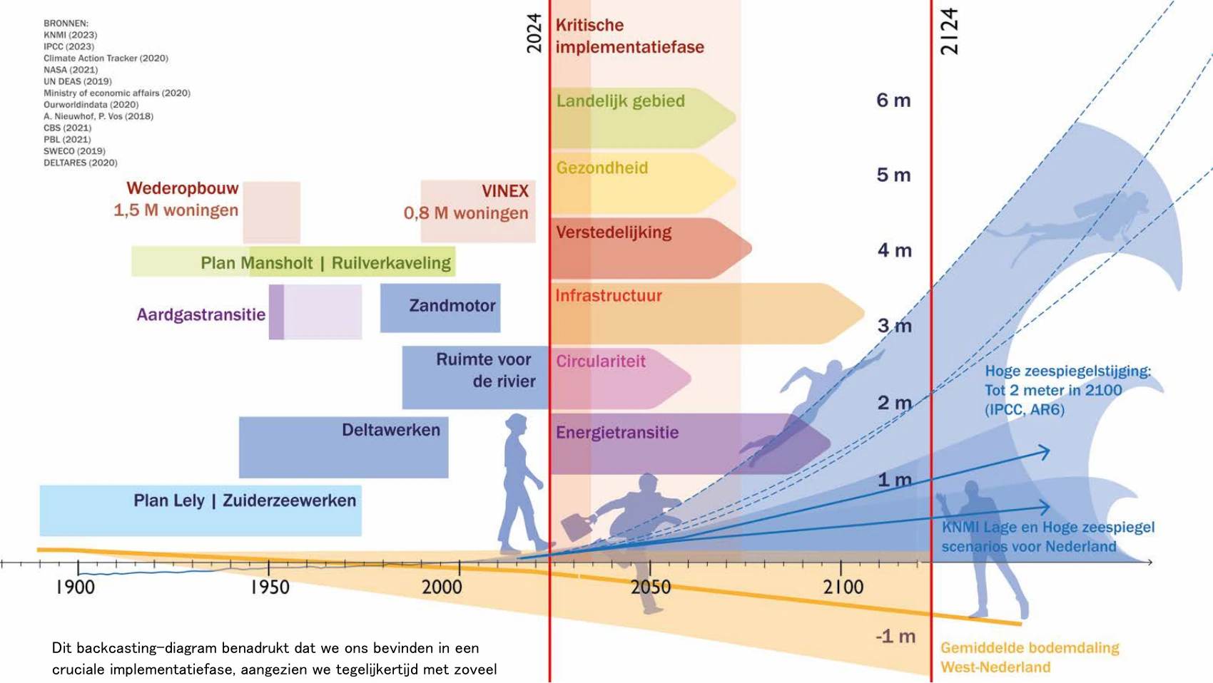
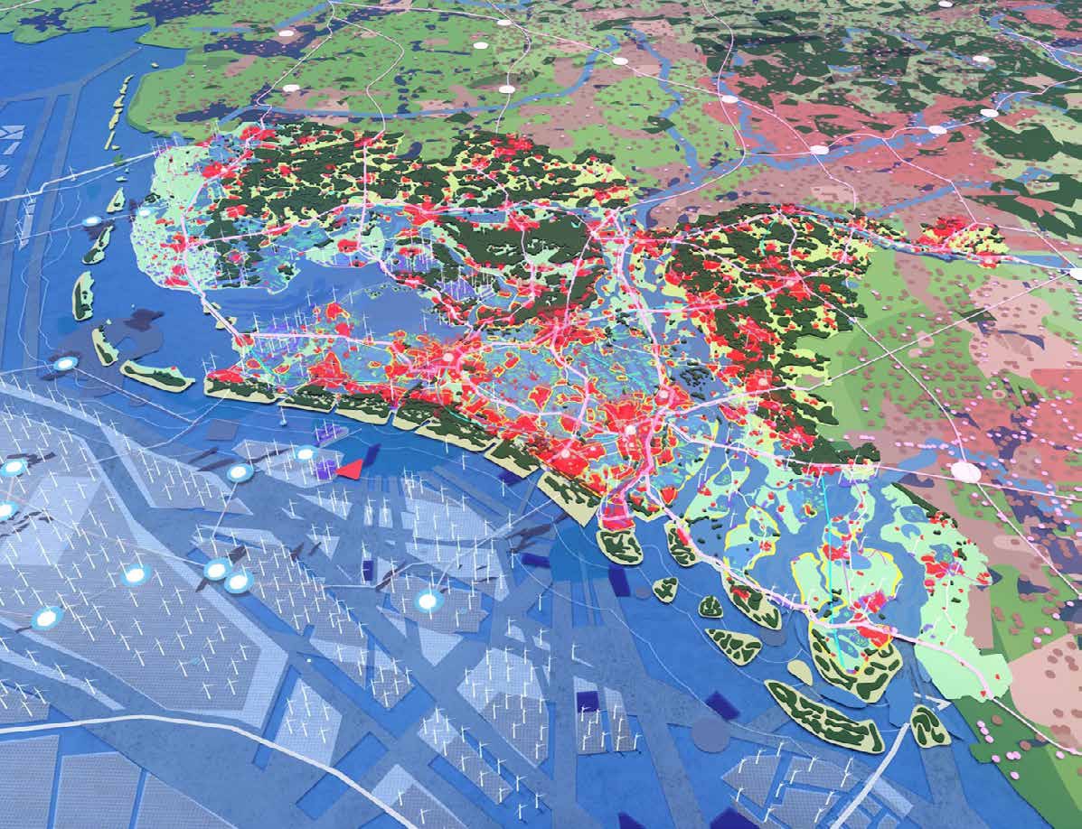
What might the Netherlands become when soil, water, climate, energy, nature and urbanisation are understood as a connected spatial system?
My contribution
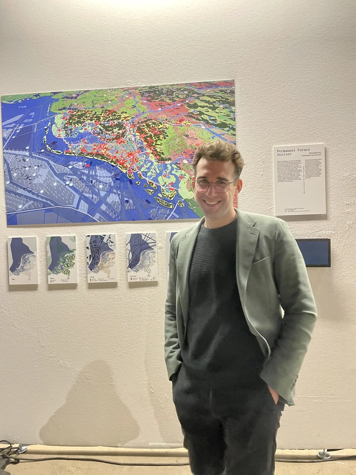
I contributed to the research and future vision: working from GIS data and spatial interpretation to a drawing base and visualisation informed by the Delta Scenarios. I have also contributed talks and conference workshops around these questions of long-term change.
The value
A spatial vision allows people to see relationships between transitions that are often discussed separately. Talks and mapping workshops invite people to explore how decisions today could shape the future.