The design question
How can a region’s ambitions for housing, work, landscape and mobility be understood as a connected spatial picture?
My contribution
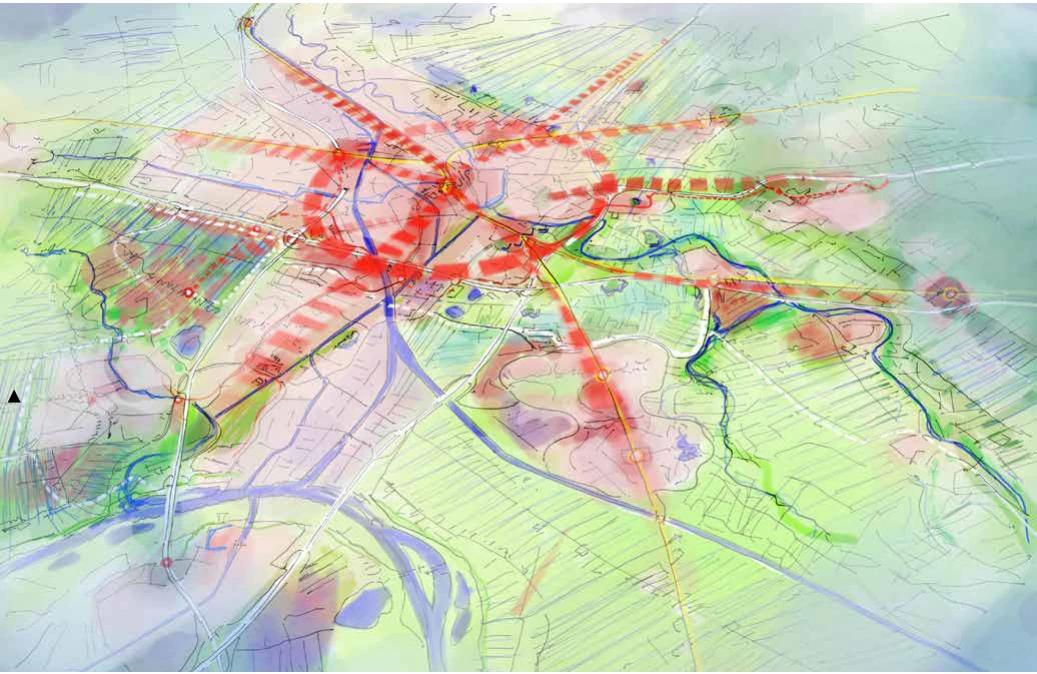
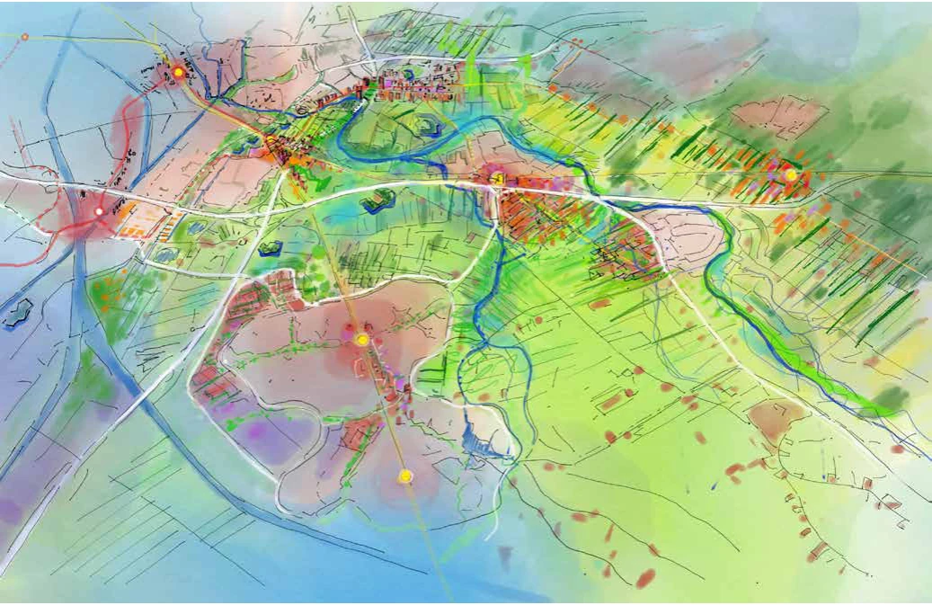
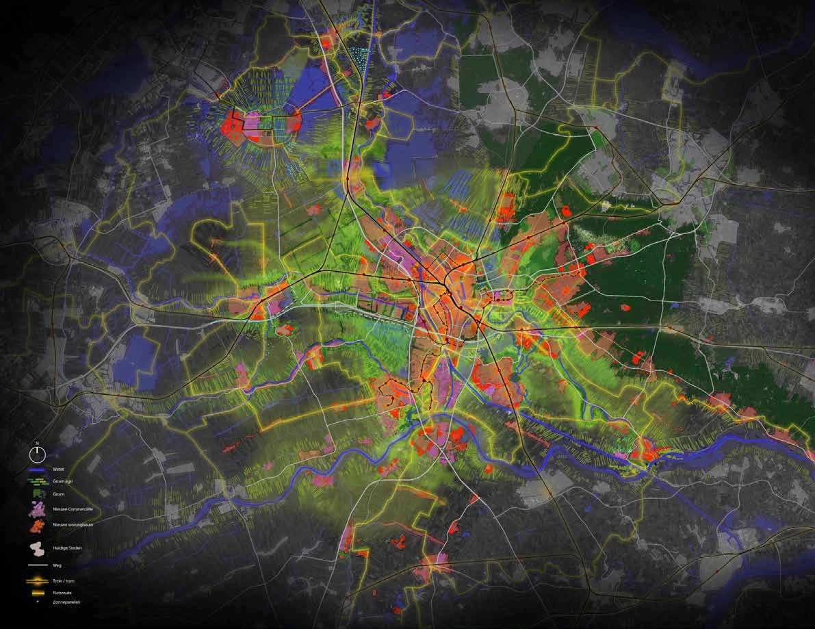
I helped develop the maps and build the final images used to underpin the U16 strategy. My role focused on cartographic development and visual synthesis, bringing the regional proposals into a coherent set of spatial drawings.
The value
The images give a shared regional strategy a legible form, helping people see relationships between decisions across the sixteen municipalities.